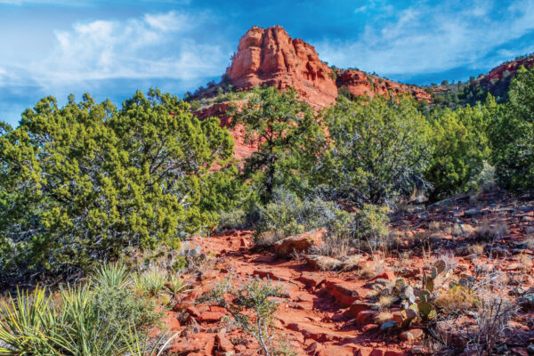
Fay Canyon has long been one of the most popular hikes in Red Rock Country and for good reasons: There’s plenty of parking at the trailhead, the route is relatively flat until the end, and the views are remarkable. Expect to see plenty of families and dogs along this trail that winds its way through a box canyon. If you’re looking for solitude, however, you probably won’t find it out here. Whenever we hike this trail, we’re always in good company. The trail begins to enter Fay Canyon almost immediately, but after 0.5 mile, you really start to notice the steep, red rock canyon walls soaring on either side of you. Keep an eye out for interesting spires and pinnacles. The farther you hike, the more the sky becomes just a narrow ribbon of blue high above you. At the 0.66-mile point, a side trail leading up to the Fay Canyon Arch begins on your right (rock piles on either side of the side trail make it easy to locate). We’ve been up to the arch before, and it’s worth the brief jaunt to be able to actually sit inside a sandstone arch.
Hikers can enjoy red rock views along the Fay Canyon Trail. One of the hike’s main attractions? A sandstone arch located about a half mile from the trail head.
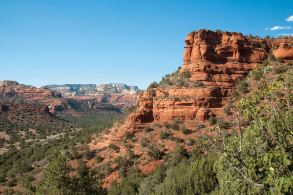
We decided to forgo the side trip during our most recent hike. But even if you skip it this time, look through the brush along the right side of the trail for views of the arch. It can be a bit difficult to see the formation because it looks like a rock overhang, but it’s actually a natural arch. We’d highly recommend venturing out to the arch. It’s incredible. The trail remains level with manzanita, prickly pear cactuses and juniper growing on either side. After hiking 1.32 miles, you’ll reach a rock slide. Some hikers choose to turn around at this point, but the best views can be won if you climb up the boulders and rocks to a slick rock ledge. It’s not difficult to climb up and around the boulders – there’s a well-worn path that’s easy to follow. Once you get to the ledge, look behind you for views that stretch all the way to Courthouse Butte, Bell Rock and Cathedral Rock. The canyon walls are even narrower up here, making GPS and cell phone reception all but nonexistent.
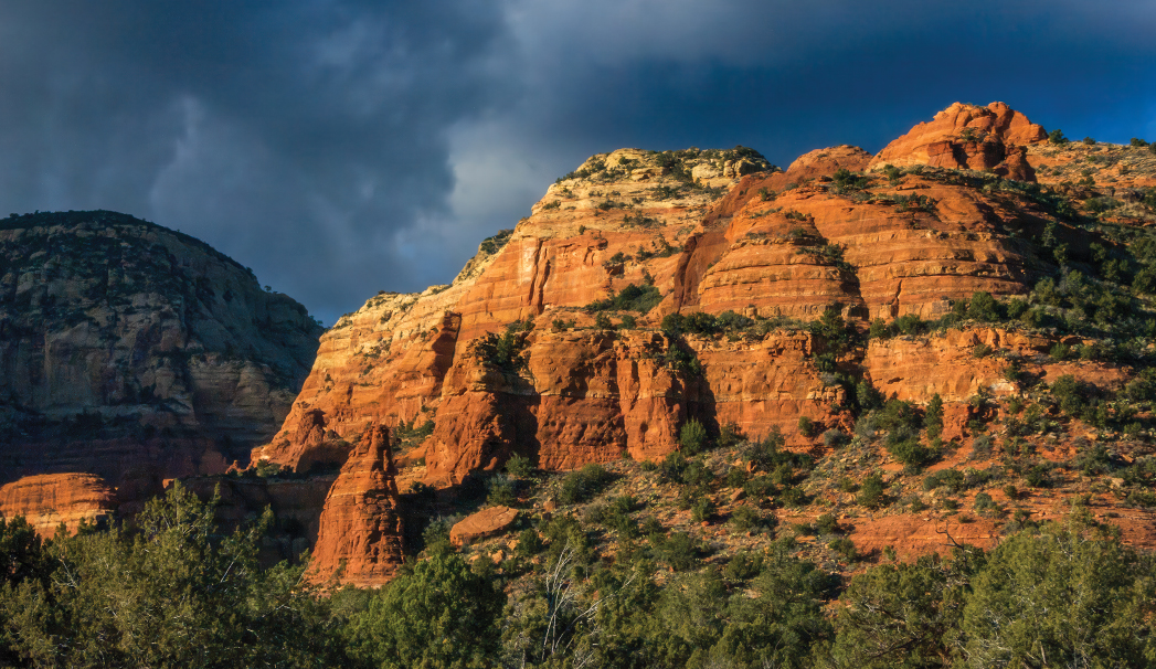
A red rock shot of Fay Canyon.
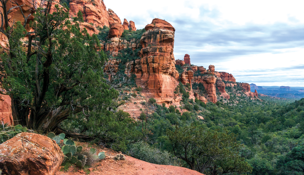
We kept hiking, and the ledge only became more picturesque and inviting. In the spring and the summer, this would make for a great picnic or reading spot. The trail winds its way along the ledge of a small rock amphitheater and continues up the canyon. It ends at a red Supai sandstone cliff. We were short on time and decided to turn back at about the 1.2-mile mark. We headed back to the trailhead for a nice and easy 2.4-mile jaunt.
Please check with the Red Rock Ranger District before planning your hike. For more information visit: https://www.fs.usda.gov/r03/coconino