Sometimes when we’re searching for a hike to tackle, we just want a relatively easy hike that serves up great red rock views without a ton of effort. The Aerie Trail fits that bill perfectly. The West Sedona hike is a great jaunt when you’re short on time and looking to get outdoors. As an added bonus, this trail is relatively secluded too. The trail hugs the north side of Doe Mountain and ends at the Boynton Canyon Trailhead. It’s also one of the most underrated hikes in Red Rock Country. Kick off your journey by turning left onto the Aerie Trail. The trail crosses Aerie Road just a few hundred feet from the trailhead.

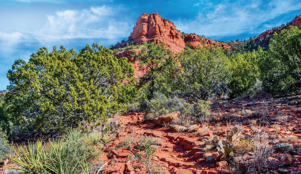
A red rock view from The Aerie Trail. The Aerie Trail is one of the Sedona Secret 7 Trails, which is an initiative launched by the Sedona Chamber of Commerce & Tourism Bureau to highlight Sedona’s lesser known attractions.
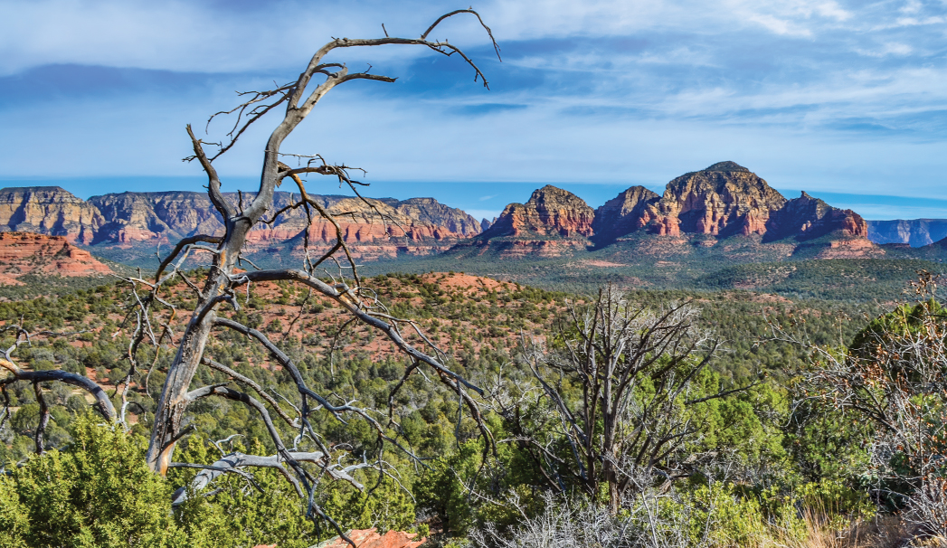
Look both ways before you keep going. At just shy of 0.5 miles in, the trail takes a sharp left turn and then continues on. We love how this trail is relatively flat and just meanders. It’s also easy to follow and only has a few twists and turns at the end. You can really lose yourself in the hike since your mind isn’t preoccupied with climbing up rocks or scaling a steep hill. Enjoy the red rock soil, trees and views of the red rock formations. Be sure to wear a hat and sunscreen. There’s not a ton of shade along the trail. This trail does tend to be quiet too, which is a real rarity. It’s easy to see why the Sedona Chamber of Commerce & Tourism Bureau dubbed this one of its Sedona Secret 7 Trails. Be sure to pause to take in views of Bear Mountain, Fay Canyon and Boynton Canyon along the way. They’re some of the best in town. You’ll likely spot mountain bikers on this trail as it’s very popular with them. Be mindful of them.
A view of Sedona’s red rocks from the Aerie Trail.
You’ll likely spot dogs on this trail too, as it’s pet-friendly. Return the way you came for an out-and-back trail that clocks in at just less than 6 miles. If you’re up for more, turn right at the Cockscomb Trail for a loop trail. If you take this option, you’ll be hiking around the base of Doe Mountain. We love a choose your own adventure trail, and this one really delivers. You can hike this as a loop trail – many do – or hike to the top of the Doe Mountain summit to get take in some stunning views from the top. Ready for a heart pounding climb? The Doe Mountain Trail intersects with the Aerie Trail just over halfway through the hike. This trail leads to the summit and gains over 400 feet in elevation. We’d add this detour when we’re craving more intense exercise.
Please check with the Red Rock Ranger District before planning your hike. For more information visit: https://www.fs.usda.gov/r03/coconino