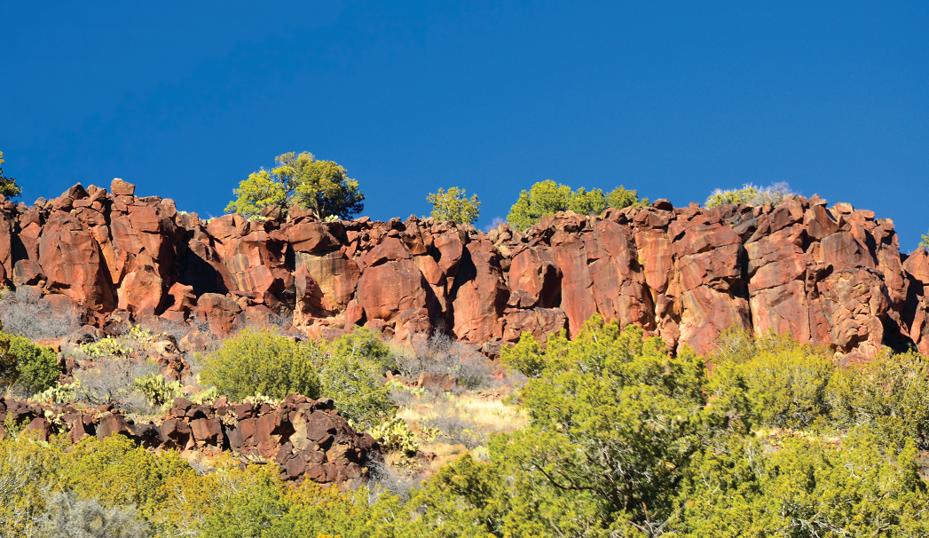
Finding a quiet trail to hike in Sedona can be tough, and that’s why trails like the White Mesa Trail – a historic cattle trail – can be refreshing. Although this hike lacks red rock views, it more than makes up for the dearth of vistas. Hikers on this remote trail located southeast of Sedona in the Beaver Creek area can enjoy solitude and get in a solid workout to boot. Your hike begins along Bell Trail, the starting point for numerous trails in the area. Bell Trail was built as a cattle trail in 1932 by Charles Bell. It’s wide, flat and surrounded by mesas studded with pinion pine trees and black lava rock. As you walk, you’ll hear the soothing sounds of Wet Beaver Creek meandering below you. After hiking for one mile, look to the left for one of those aforementioned lava rocks. This massive boulder is covered with interesting petroglyphs and pictographs. Continue hiking, and 1.4 miles from the trailhead you’ll come across more petroglyphs on your left. (We’ve hiked Bell Trail countless times, and this was the first time we’ve noticed this rock art.)
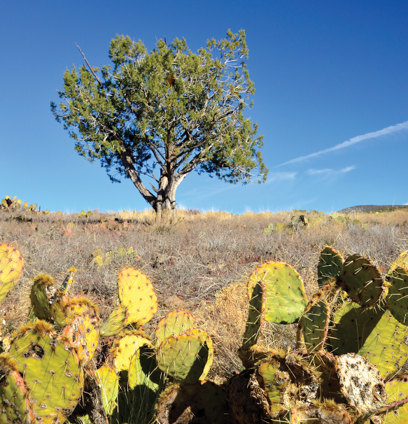
A tree stands tall in the background along the White Mesa Trail. This trail offers plenty of peace and quiet. Just like the Bell Trail, the White Mesa Trail is an old cattle trail. You’ll have reached the trail’s end when you reach a cattle gate.
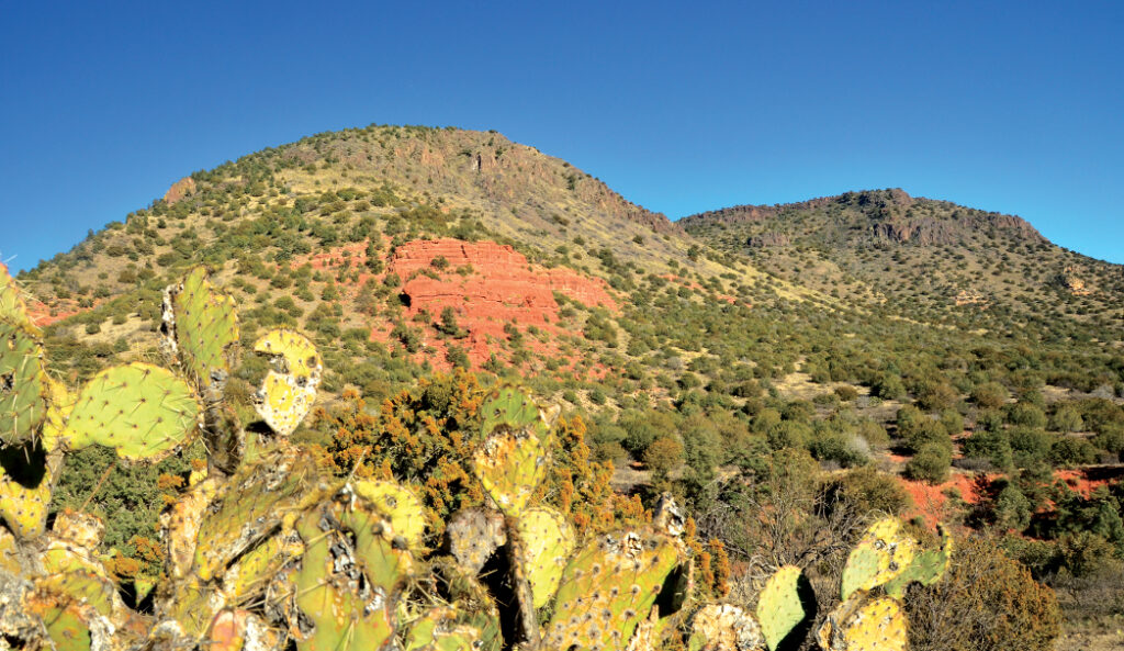
You’ll reach the junction of Bell Trail and White Mesa Trail after you’ve been hiking for 1.75 miles. Turn left and make your way up the mesa, which is covered with rocks, prickly pear cactus, grasses and pinion pines. The narrow trail climbs relentlessly, and we aren’t talking about switchbacks. It goes straight to the top of the mesa, offering up views of Casner Canyon (more green trees than red rocks, though you will see some peeking out every now and then). The trail climbs more than 1,000 feet in one mile, and it’s very steep. Your heart rate will increase. You’ll finally level off when you reach a cattle gate after hiking 2.76 miles. We spent a little bit of time exploring the top of the mesa, which offers up a lot of solitude and stillness without many views. Nonetheless, if you’re looking to burn some calories while enjoying some peace and quiet, White Mesa Trail is worth the effort.
Located near Rimrock just outside of Sedona, the White Mesa Trail is in the Wet Beaver Wilderness area. Wet Beaver Creek is a perennially flowing stream in the desert. Hear the Creek flowing as you hike. This trail starts along the Bell Trail until hikers take a left onto the White Mesa Trail. After climbing a heart-pumping 1,000 feet in one mile, hikers will reach the White Mesa.
Return the way you came, but watch your step on the way down. The trail is rocky and slippery. Our hike totaled 6 miles round trip after our explorations on top of the mesa. You won’t encounter a lot of shade in this area. If the weather is toasty, hike this trail early in the morning or late in the evening. And keep an eye out for rattlesnakes, especially at this time of the year.
Please check with the Red Rock Ranger District of Coconino National Forest before planning your hike. For more information visit: https://www.fs.usda.gov/recarea/coconino/recarea/?recid=54892