Sedona hiking trails can be many things: scenic and peaceful being the two best descriptors that often come to mind. But they’re typically not secluded. If you’re searching for real solitude, you’ll have to venture farther out of town. That’s one of the many reasons why we love the Mooney Trail. Its remote location off FR 525C, a graded dirt road, keeps many hikers at bay as it is difficult to reach. Pair that with a dramatic ascent at the end of the trail, and many people would rather explore a more accessible canyon. They don’t know what they are missing.
The out-and-back, roughly 19 miles long Mooney Trail was originally constructed to transport cattle to and from pastures on the Mogollon Rim. The trail is still used for this purpose and is wide and well constructed.
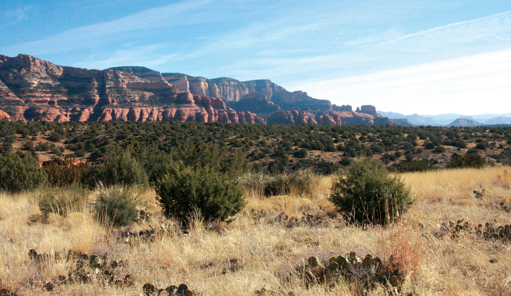
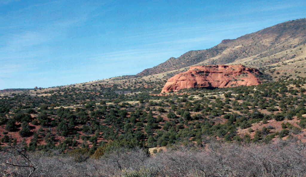
Mooney Trail begins as a jeep road at Black Tank near the junction of FR 525C and 9551. (Look for the metal Mooney Trail #12 sign at the tank, which serves as a watering hole for wildlife.) It was at one time possible to drive out to Sebra Tank in a high clearance vehicle, but that road is now closed to motorized vehicles. Instead, you’ll have to park at Black Tank and make your way along the dirt road. Even though we were hiking on the weekend, there wasn’t a car in sight. After less than one mile, the trail turns left and narrows. It climbs to the top of a ridge and offers expansive views of Casner Mountain and Robbers Roost. Mooney Trail enters into a wilderness area after you pass Sebra Tank, roughly 3.71 miles into your hike. Just before you reach wilderness, you’ll notice an interesting ranch at the mouth of the canyon. It was the only sign of civilization we came across during our entire hike. Mooney narrows dramatically and quickly descends into colorful, quiet Spring Canyon, which was dry during our hike. We made our way along the rocky trail and spotted a bald eagle soaring high above. The sounds of chirping birds echoed across red-rock canyon walls, and we spotted tufts of javelina fur.
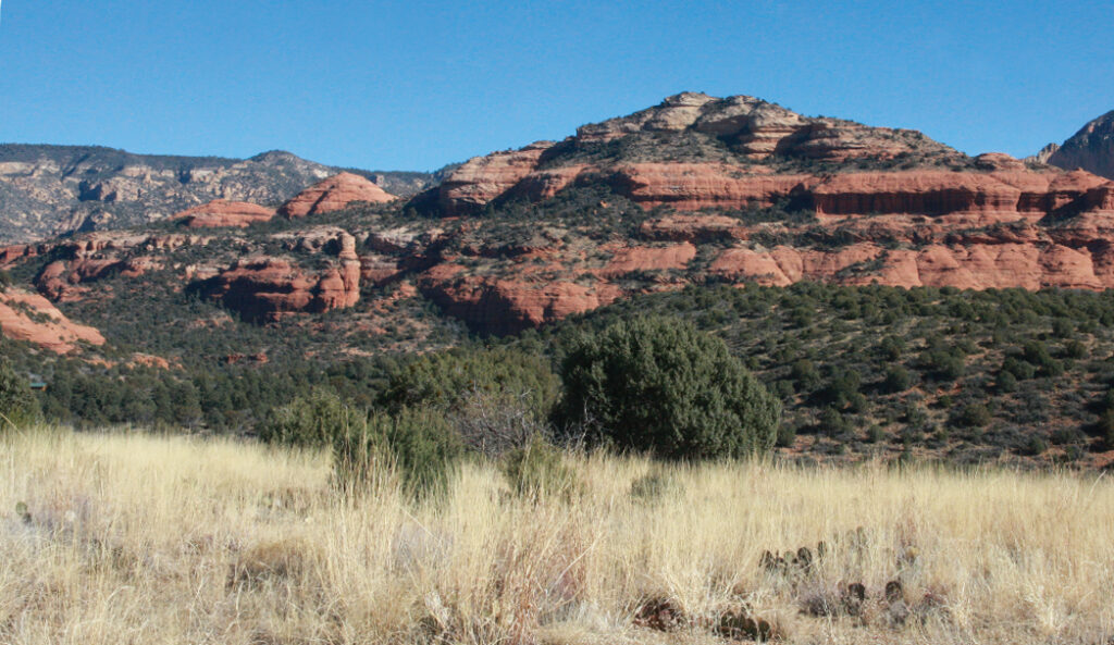
A picturesque scene from Sedona’s Mooney Trail.
We hiked 4.09 miles and stopped at a large field of slick rock for lunch. Mooney Trail continues along the canyon floor for another half-mile before making a steep, exposed ascent to the top of the Mogollon Rim. It officially ends at the junction of Taylor Cabin and Casner Mountain trails, but in our opinion, you’re better off exploring Spring Canyon and then returning the way you came for an 8-mile round-trip hike. The entire hike is just less than 19 miles out-and-back – making this a multi-day affair. If you have the time and are well prepared, you could camp along this trail and really take in the wilderness all around you. No matter what you choose though, you’ll enjoy stunning views and a peace and quiet we haven’t encountered on any other trail in Sedona in a very long time.
Please check with the Red Rock Ranger District of Coconino National Forest before planning your hike. For more information visit: https://www.fs.usda.gov/recarea/coconino/recarea/?recid=54892