West Sedona’s Sugarloaf Loop Trail is an easy way to work up a sweat, take in beautiful views and get in a good hike. It’s especially beautiful after a dusting of snow. Begin your hike at the Teacup Trailhead. Walk forward, and you’ll spot Sugarloaf Mountain to your right. As you hike further along, Capitol Butte and Coffee Pot Rock will come into view up ahead. At about 0.32 miles, you’ll see a sign for Teacup Trail and Thunder Mountain. Take a right and stay on Teacup. At 0.37, you’ll see a sign for Teacup and Sugarloaf Loop. Take a right here and walk up some red rock “stairs.”
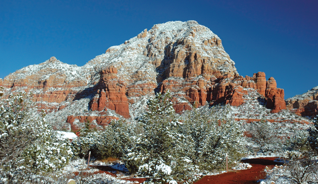
Capitol Butte “glitters” with fresh white snow
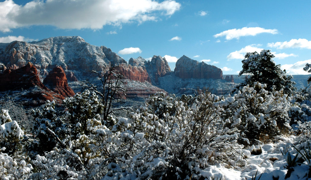
From here, you’ll see a sign for the Summit. Take a right, and start your climb to the top. Like all summit hikes, be prepared for a calf-burning climb. Mind your footing as it can get slippery after a snow storm. But unlike many summit trails, this one isn’t too hard with “stairs” that make it relatively easy to walk up. When you finish this brief jaunt – it’s less than 0.25 mile to the top – you’ll be rewarded with a stunning view. Soak up the breathtaking vistas of Airport Mesa, Courthouse Butte, Bell Rock, Castle Rock and Cathedral Rock that’s peeking out over the horizon. To the southwest, you can see Cottonwood, Mingus Mountain and Jerome. If you’re here after a snowstorm, the snow glitters on top of the red rocks and on all the West Sedona homes down below.
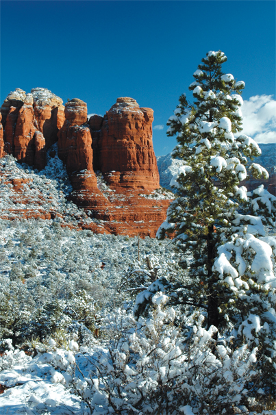
One of Sedona’s most recognizable red rock formations, Coffee Pot Rock, is all dusted with snow.
If you’re really short on time, hike down and then turn left to head back to Teacup. But if you want to complete the full Sugarloaf Loop, hike down and then take a right. This trail is well-marked with cairns (stacks of rocks) throughout. At 1.09 miles, take a left to stay on Sugarloaf. Not long after you hike forward, you’ll see our favorite, up-close view of Coffee Pot Rock in town. Admire this iconic red rock before you turn left at Teacup Trail at 1.29 miles. The trail winds and goes up and down as you pass by many trees. At 1.62 miles, turn left to go back to the Sugarloaf Trailhead and wind back up in the parking lot. This loop trail is just less than 2 miles.