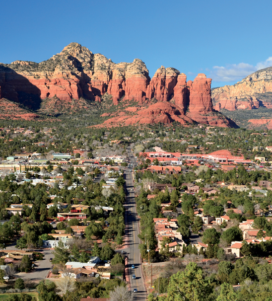
When those summer temperatures soar, one of our favorite places to hike in town is Airport Mesa. The relatively easy and mostly short trails in this West Sedona area all offer stunning views of some of Sedona’s most iconic red rock formations. It’s also easy to access these trails, take a quick hike and then get on with your day – making it an ideal hiking spot if you’re short on time. Case in point: The Table Top Trail is a hiking gem that we’ve been enjoying for years. The route takes its name from Airport Mesa, which was originally Table Top Mesa before the Sedona Airport was built in 1957. This trail climbs the face of Airport Mesa and then ventures out onto a connecting knoll, offering views of the red rocks and planes taking off at the same time.
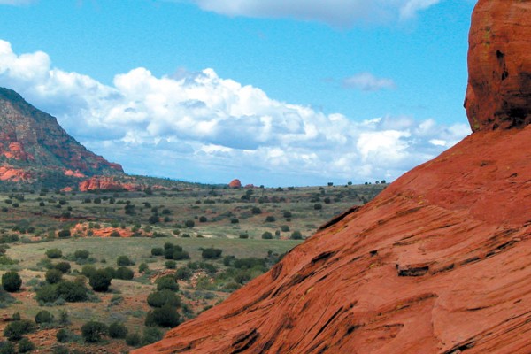
The Table Top Trail offers stunning views of Capitol Butte and West Sedona. Coffee Pot Rock stands out at the far right. This hike ends at a knoll that offers breathtaking views. You also can reach the Table Top Trail via the Airport Loop Trail.
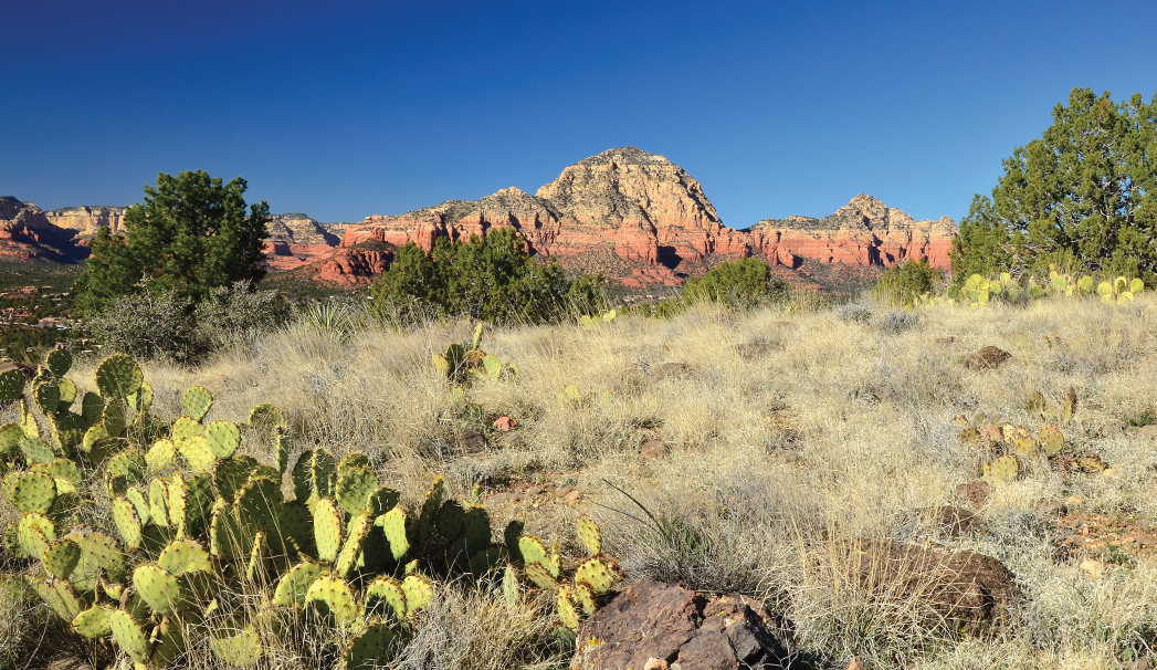
This hike starts on the Ridge Trail, and it actually begins in the back of a commercial center parking lot on Shelby Drive. The beginning of the trail has a very urban feel to it and skirts Sedona’s industrial area. Stay straight instead of turning right to immediately get on the Bandit Trail. Bandit curves around until it eventually makes a steady climb to the top of Airport Mesa. The trail was named after a pet that passed away, but the grave marker has been lost to time. Bandit merges with Airport Loop 0.55 miles from the trailhead. Turn right and continue a steady climb uphill. After about one mile, the trail levels off. Be sure to pause here. Sip some water and admire the incredible views. West Sedona will be on one side and Cathedral Rock will be on the other. Continue along the trail until you reach the junction of Airport Loop and Table Top. Turn right on Table Top, which leads you along a narrow ridge covered in low-lying cactus and a few sparse junipers. After walking for 1.22 miles, you’ll notice a social trail on your left. Ignore it and stay straight.
The trail ends at the tip of the knoll that’s located about 1.61 miles from the trailhead. The fierce wind hissed through tall grasses at this point in our hike, but we still took the time to take in views of Cockscomb, Robbers Roost, the Chapel of the Holy Cross, the Nuns, Courthouse Butte, Bell Rock and Cathedral Rock. Far below you can make out the trees that line the banks of Oak Creek, cars along Red Rock Loop Road and the rooftops of the million-dollar homes in the Back ’O Beyond development. Hike back the way you came (thankfully, it’s all downhill from here) for a 3.2-mile round-trip hike that is rarely crowded but offers up big views.
Please check with the Red Rock Ranger District of Coconino National Forest before planning your hike. For more information visit: https://www.fs.usda.gov/recarea/coconino/recarea/?recid=54892