I like cool temperatures. So let’s look at one of the coolest places I know: the San Francisco Peaks, north of Flagstaff. They are one of the first things you see as you go north on Interstate 17. Agassiz Peak blocks your view of Humphreys Peak, the highest peak in Arizona at 12,637 feet above mean sea level (msl). I have spent hundreds of hours flying the peaks ridge soaring on the western side between Humphreys Peak and Agassiz Peak, tucked in close to the mountain. When conditions were right, I flew in the inner basin during fall colors getting shots of the incredible beauty in the basin above Lockett Meadow.
The San Francisco Peaks are the remnants of San Francisco Mountain (about 16,000 feet msl), which is the only stratovolcano mountain in the state, forming between 93,000 to one million years ago. A lateral blast/eruption likely blew the top off and formed the inner basin. The peaks provide wonderful skiing and snowboarding on the west side at Arizona Snowbowl. In the summer, you can take the tram up to the top of the ski area. Hiking trails abound all around the mountain, and there is a trail that goes to the top of Humphreys Peak. Lockett Meadow on the east side, below the inner basin, is a beautiful place to visit and when done there, head across US 89 and head into Sunset Crater and visit the most recent addition to the San Francisco Volcanic Field.
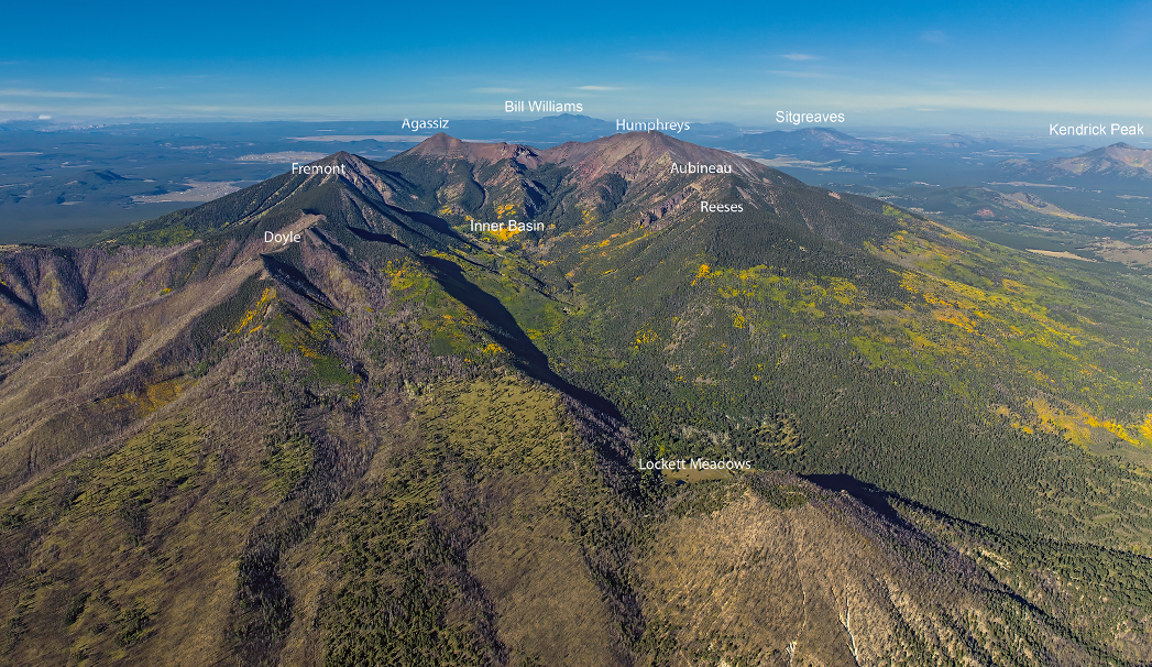
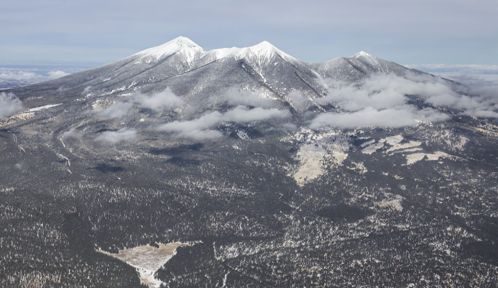
I love the place in the air and on the ground. The photo at the top of this page is a view from east of the peaks looking toward the west with the names of each peak plus other peaks and points of interest.
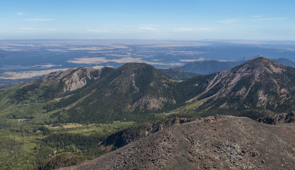
This image is a view from the northwest looking southeast. Humphreys Peak is in the foreground with hikers at the summit.
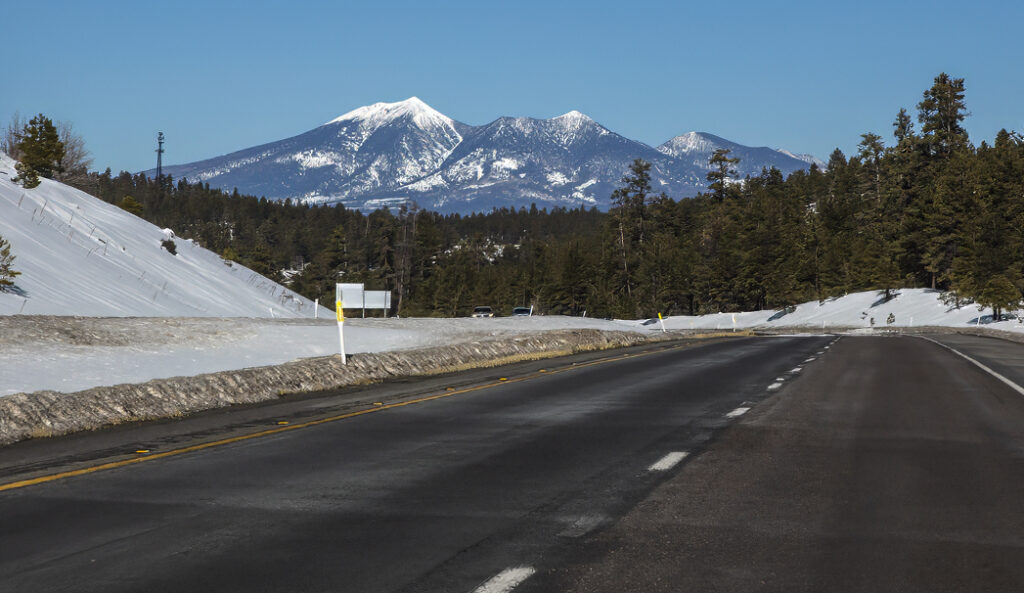
Here is the view as you drive north on I-17 toward Flagstaff. The snowy peak on the left is Agassiz peak.
And, this is a view from the southwest looking towards the northeast. Humphreys Peak is on the left and Agassiz on the right.
![]()

