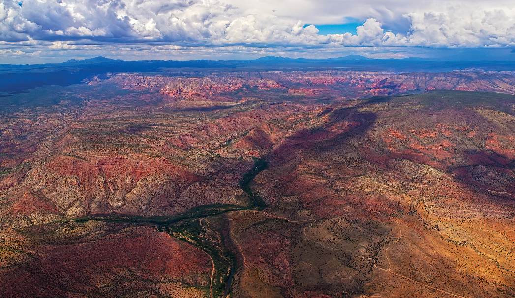
About 25 miles west and southwest of Sedona is Sycamore Canyon, the second largest canyon in Arizona. It offers an abundance of wild beauty. Sycamore Canyon Wilderness is over 50,000 acres and is Arizona’s first Wilderness Area. In this majestic and expansive place, you will find solitude and quiet. The photograph above shows most of the canyon and a perspective of where it fits into the landscape. The Verde River makes a loop into and back out of the photo along the bottom. This is the green belt, and Sycamore Creek flows into it from the top. The dirt parking area for the Parsons Trail is just below the green area where Sycamore Creek exits the canyon. The gravel road to the trail comes in from the right. On the right side middle, see Black Mountain (flat top), then the gap and Casner Mountain. Along the horizon from the left are Bill Williams Mountain, Sitgreaves Mountain, Kendrick Peak and buried in a monsoon storm, the San Francisco Peaks. Bordering the lower side of the Verde River is the track used by the Verde Canyon Railroad.
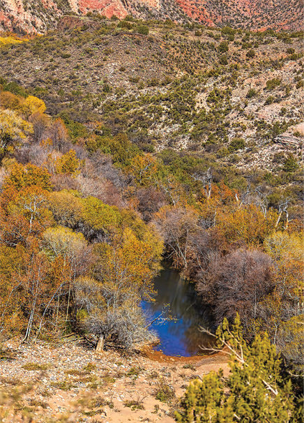
The vertical shot is looking down from the parking lot to Sycamore Creek at the trailhead for the Parsons Trail, a downward hike for several hundred feet. Then you can take it about four miles upstream to a large pool. You’ll have to cross the creek numerous times as you go up the trail.
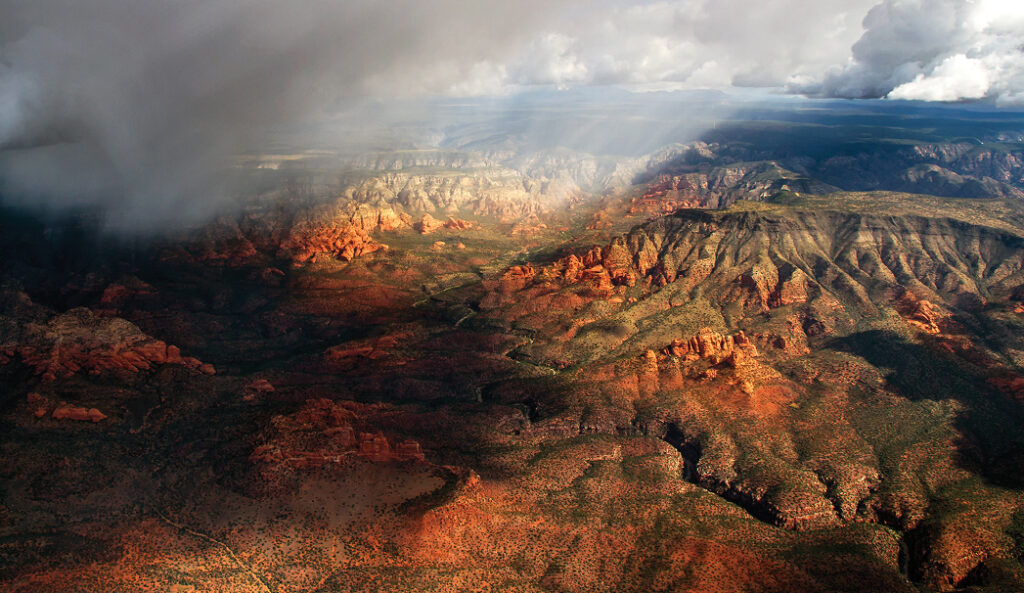
The photo with a monsoon storm displays the southeast corner of Casner Mountain from within the canyon and looking to the northeast. It was serene everywhere except inside the cockpit. There is a large collection of hoodoos on the east side of the canyon above Casner Mountain, and they look like cities and buildings. Enjoy!
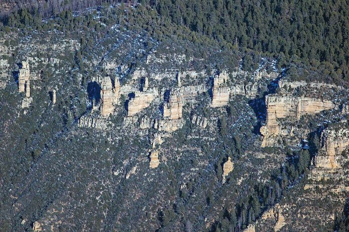
Hoodoos on the east side of the canyon above Casner Mountain
![]()

