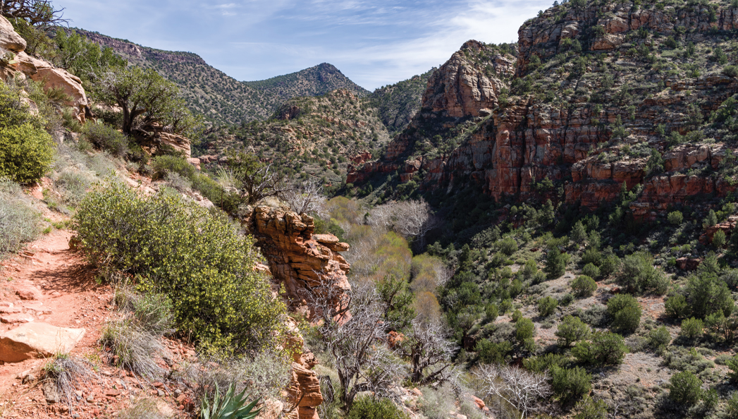
It’s hot outside. We get it. During those hot weather months, we keep our hikes short and sweet. But there is one longer hike that we always look forward to during the sweltering summer. Enter the Bell Trail. Hikers flock to this trail because it winds up at Wet Beaver Creek. Your hike kicks off at the Bell Trail, which is named after rancher Charles Bell. He created a cattle trail back in 1932, and this trail is named after him. The trail here is wide, flat and dusty – making the first part relatively easy. It’s also largely unshaded. We’d recommend starting in the early morning or late evening hours. With the temperatures repeatedly topping triple digits, be sure to wear a hat, sunscreen and bring plenty of water. On our last visit, the hike was dusted with white, red and purple wildflowers. The trail runs parallel to Wet Beaver Creek. You can hear the water babbling as you hike. Horses and dogs are allowed on this trail. Although we’ve never spotted a horse, we have seen dogs here. At about 0.8 miles, see a large boulder on the left side.
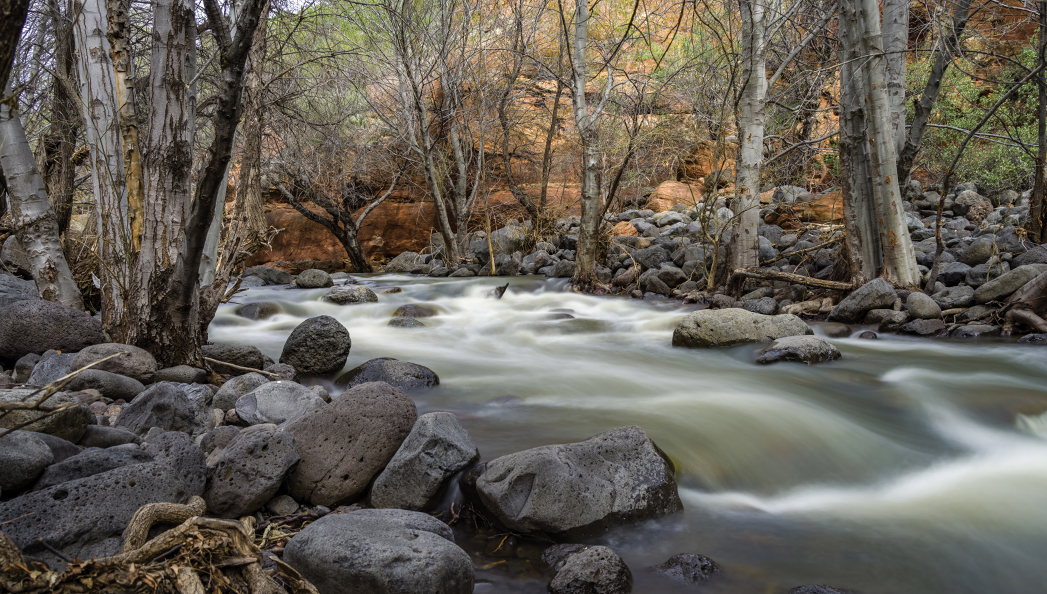
Originally built as a cattle trail in 1932 by rancher Charles Bell, the Bell Trail is one of the most popular warm weather hikes due to the numerous swimming holes along its path. The trail is still used to move cattle, and the trail terminates at the edge of the Mogollon Rim.
Eventually, the trail intersects with the Bruce Brockett Trail. This trail leads to a horse trail lot and is named after the man who owned the nearby V Bar V Ranch. Now, portions of the ranch are owned by Coconino National Forest, and it’s known as the V Bar V Heritage Site. On that land is one of our favorite hidden gems in the area. Nearby the Bell trailhead is the Crane Petroglyph Heritage Site, which features some of the best preserved collections of petroglyphs in the entire Verde Valley. It’s well worth a quick visit. Even in the hot heat, you’ll be grateful for the mostly flat trail. It only ascends gradually at the end. After a few descents and ascents, you’ll arrive at the trail’s highest elevation of 4,265 feet. From there, it winds down, and you’ll reach the hike’s best part at about 3.5 miles in. Your reward for all the effort? A stunning swimming hole (called “The Crack” or “Bell’s Crossing”) that offers up clear, refreshing cool water surrounded by red rocks – one of our favorite sites in the summertime. The trail does continue on for another 3 miles until it intersects with the Long Canyon Trail. Return the way you came for an out-and-back hike that clocks in at just over 7 miles.
Please check with the Red Rock Ranger District before planning your hike. For more information visit: fs.usda.gov/r03/coconino/alerts