Jack’s Canyon is easy to reach, quiet (a real rarity these days) and offers up stunning views. The strenuous trail that is just over 13 miles out and back is also one of the more underrated trails in Sedona. We’re not quite sure why this is, but it’s likely due to the fact that completing this trail on foot is a serious, time-consuming endeavor. Jack’s Canyon is an old cattle trail that follows the bottom of a desert gorge and goes all the way to the Mogollon Rim. Right from the get-go, the red rock views from the trailhead are stunning. The trail is located right by a subdivision until it branches off at about one mile in, and you’re in rugged wilderness. Being a true backcountry hike, this trail is not always well maintained. It’s rocky and sandy in places.
Jack’s Canyon is named after railroad engineer Jack Woods, who used to graze sheep in the area back in the 1800s. The trail is an old cattle trail.
Be sure to wear long pants so you aren’t snagged by thorny vegetation on the ground. Expect to see Arizona cypress, banana yucca, catclaw acaia and false palo verde. It’s a good idea to download a trail map, especially if you’re going to tackle the entire trek. Start early to ensure you’ll have enough time to finish the trail. At just over 1 mile, expect an uphill climb. You’ll eventually reach Jack’s Canyon Tank at 2.5 miles in. The actual tank is named after Jack Woods. The Winslow native was a railroad engineer who also grazed sheep in the area and is the trail’s namesake. From here, enjoy stunning panoramic views of the area. Head past the tank to the bottom floor of the canyon. One of the best things about this trail is that you’ll likely spot wildlife. You might see javelina, deer, rabbits and many different kinds of birds like Gambel’s quail. Horseback riders and mountain bikers are also known to frequent this trail.
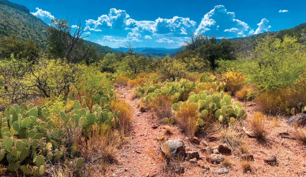
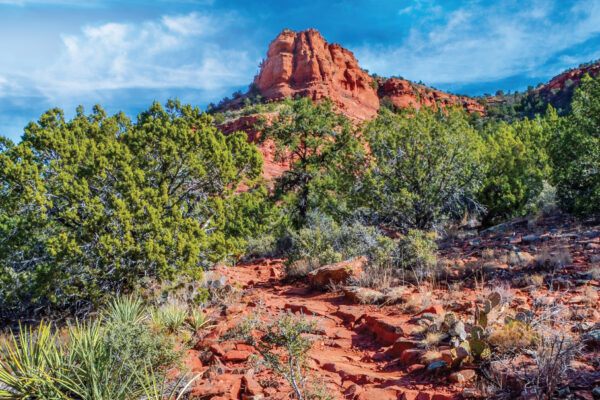
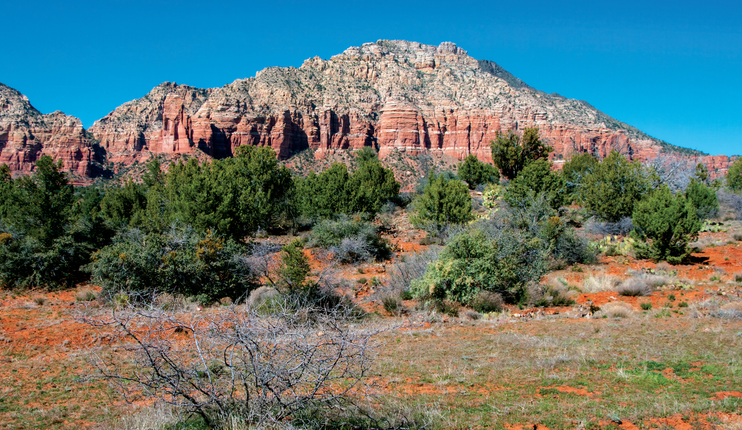
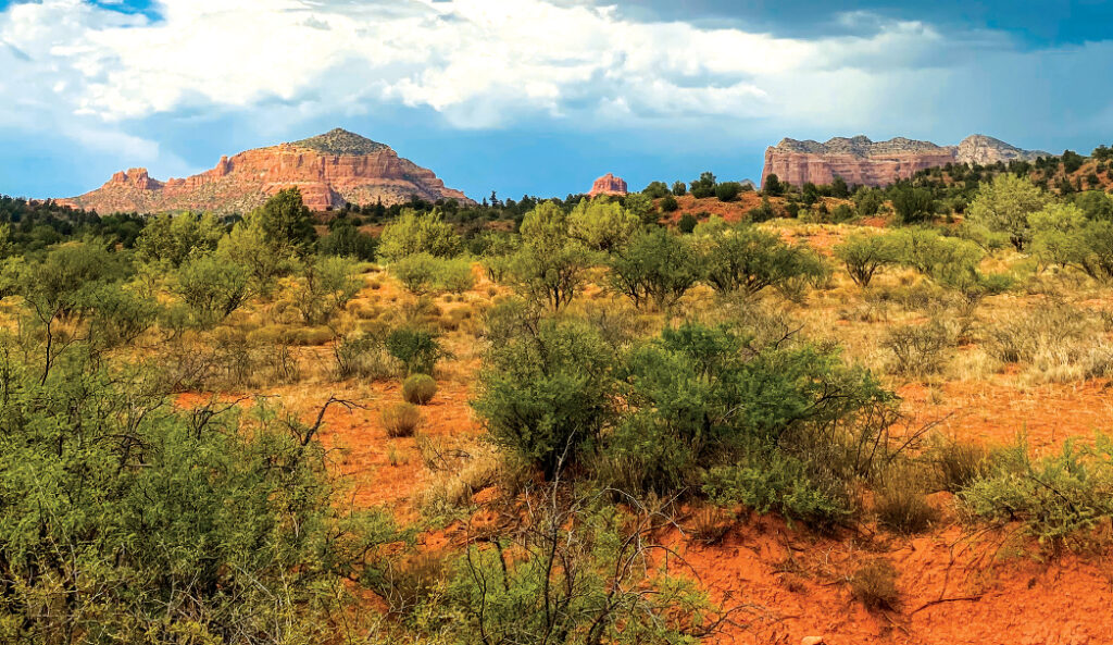
Find expansive blue skies, mountains and cacti along the Jack’s Canyon Trail.
Once you’re in the canyon, expect an uphill climb that will steadily and then dramatically increase. The elevation gain on this trail is over 2,000 feet. We turned around after it got too steep and enjoyed a roughly 4-mile hike. If you keep going, you’ll eventually reach steps carved into rocks. Hike up them. The trail ends at the Munds Mountain Trail. For a really tough trek, hike up the 1-mile-long Munds Mountain Trail. Your reward for a difficult hike? Simply breathtaking red rock views that can only be accessed via this trail. From here, take in truly stunning views of all of Sedona’s red rock formations, part of the Oak Creek Canyon and on clear days, the San Francisco Peaks in Flagstaff. Return the way you came for a hike that clocks in at roughly 15 miles total.
Please check with the Red Rock Ranger District before planning your hike. For more information visit: https://www.fs.usda.gov/r03/coconino