November can be a bit nuts. Chances are high that you’re busy prepping for the upcoming holidays on top of all your other day-to-day responsibilities. And you’re probably searching for a quick break, which is what makes the Schuerman Mountain Trail so ideal for such a crazy time of year. Most trails with the word “Mountain” in the title require a tough, long climb to get gorgeous views. But not this one.
Your journey kicks off just past Sedona Red Rock High School. The trail starts behind the building. Take a right at approximately mile .07, and then follow the fence. If you ever lose your bearings, follow the cairns – tall piles of rocks wrapped up in metal fence that mark the way. You’ll find a green gate that you’ll want to walk past at mile 0.15.
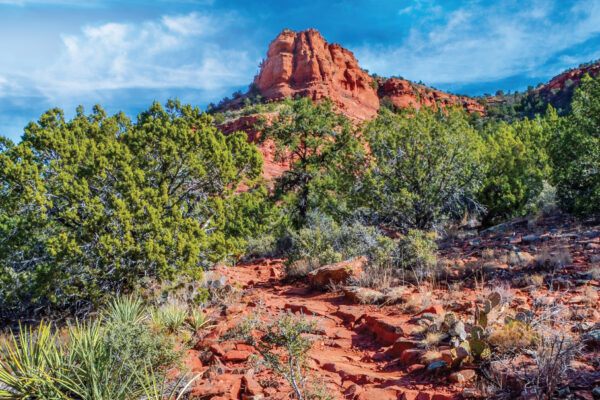
The trail doesn’t offer much shade. But you’ll want to be sure to take a look behind you at the red rock views including Coffee Pot, Chimney Rock and Capitol Butte all around when it does. Mind your footing. The trail can be rocky. It’s mostly a steady climb uphill that gradually curves up the mountain, but there are a few flat breaks throughout. It’s worth noting that the soil in some places is that classic deep Sedona red. In some spots, it’s so vibrant it’s almost orange. Follow the trail until it veers off to the left. You’ll know you’ve hit the summit when you see a wooden sign marking the surrounding trails and the trail flattens out.
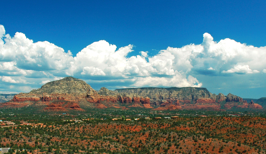
Once you’re at the top at 4,450 feet, it’s a pick-your-own adventure. You can choose to continue on the Schuerman Mountain Trail, turn back or continue hiking on the 0.33 mile long Schuerman Mountain Vista Trail. We’d recommend the Vista that branches off to the left. It starts off with not much of a view, but eventually, you’ll find a flat vista where you can take in red rocks views all around. The Vista trail kicks off with a small hill but then flattens out to a gravel path, which feels nice underneath your feet after the rather rocky incline. Return the way you came for a hike that’s just less than 2 miles.