Despite its name, Dry Creek is anything but dry. Depending on how much rainfall we’ve received, it’s completely impassable in some locations. The key to hiking this trail is finding that ideal time when there’s enough water in the creek to make the hike interesting but not so much that you can’t navigate it. We made it one mile along the trail at the beginning of December before a creek crossing forced us to turn back. What we love the most about this trail and what makes it totally worth it is that it’s a true backcountry trek. Since it’s hard to reach, only a few hikers will attempt it. If you’re searching for seclusion and wilderness, you’ll find it on the Dry Creek Trail.
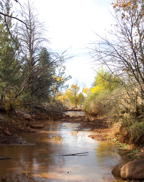
Water from the 5-mile out-and-back Dry Creek Trail. It’s best to hike this trail after rain so you can see the creek filled with water. If the water is roaring, be sure to turn back as it can be too unsafe to cross.
Getting to the trail is half of the adventure. It begins at the Vultee Arch Trailhead at the end of Vultee Arch Road (FR 125). You will either need to hike the 4-plus-mile road to get to the trailhead or negotiate the road in a high-clearance four-wheel drive vehicle (that was what we did). You can also reach the trail by hiking the strenuous Sterling Pass in Oak Creek Canyon or Chuck Wagon Trail near Seven Canyons golf course. If you hike the latter, you will still need to walk a couple of miles on Vultee Arch Road.
West Sedona’s Dry Creek Trail is a secluded backcountry trail that can only be accessed using a high clearance vehicle or by hiking for a few miles in. The trail is secluded since it’s so hard to reach.
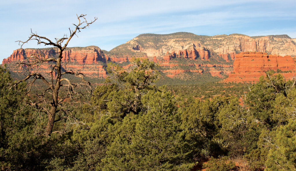
Dry Creek Trail immediately crosses Dry Creek twice before meandering through forests of juniper trees and manzanita bushes. There are some nice red rock formations around here, but nothing extraordinary. You truly want to make this journey when there’s water in the creek, otherwise it’s a relatively nondescript trail. After hiking 0.72 mile, you will come across your first major creek crossing. If you’re fortunate enough to be here when the weather is warm, and there’s water present, this would be an excellent place to take a dip and grab some sun.
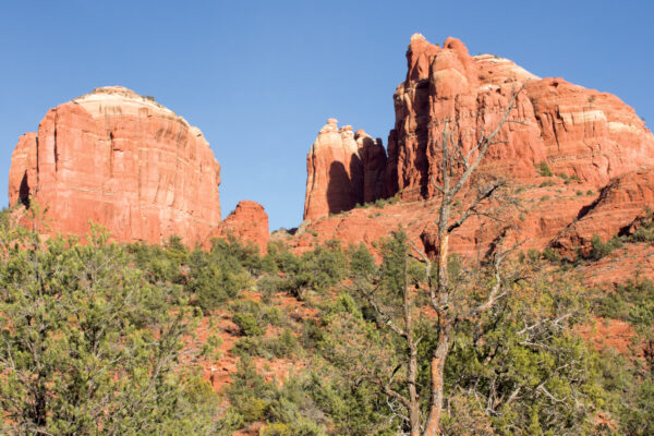
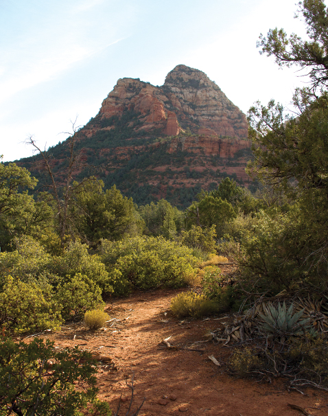
Take in red rock views on Sedona’s Dry Creek Trail.
The ample shade also makes this a great summertime hike. Hike another 0.05 mile, and you’ll come upon a second large crossing. It’s here that Bear Sign and Dry Creek trails intersect. Stay right to continue on Dry Creek. We made it another 0.25 mile before a large water crossing and steep red rock canyon walls forced us to turn back the way we came for a 2-mile round-trip hike. If the water was lower, we have continued on until we reached the end of the trail and turned back the way we came. The entire out-and-back trail is just over 5 miles long.
Please check with the Red Rock Ranger District before planning your hike. For more information visit: https://www.fs.usda.gov/recarea/coconino/recarea/?recid=55302