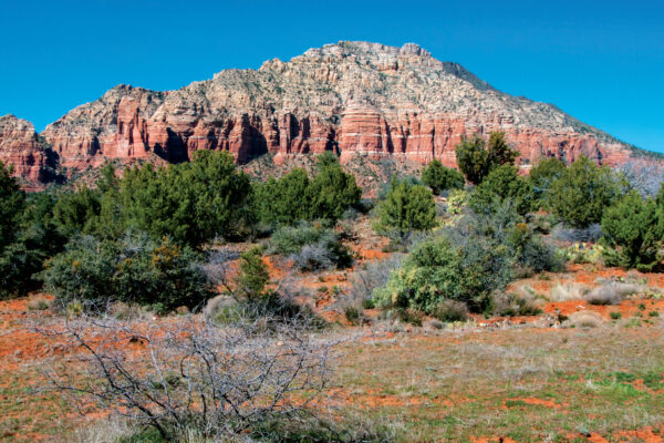
The trail that leads up Bear Mountain – named after the animal it resembles – may only be 2.3 miles one way, but it’s easily one of the most difficult hikes in Sedona. The challenge is the elevation. Bear Mountain Trail climbs more than 1,800 feet in two miles. The trail begins across Boynton Pass Road from the Bear Mountain/Doe Mountain parking lot. The trail then crosses two washes, and you’ll start hiking across cactus-studded terrain. In the beginning, the trail is flat, but that quickly changes. You’ll start gaining elevation 0.3 mile from the trailhead.
Sedona’s Bear Mountain Trail is named after the animal it resembles. The trail ascends over 1,800 feet in about 2.3 miles one way and is a very challenging trek. Tread carefully if you hike this after a snowfall.
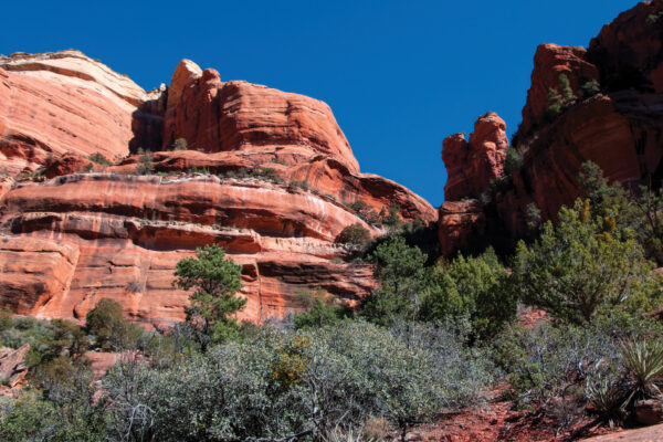
We enjoy this first climb the most because the rocky and steep trail hugs the side of a red rock cliff. It gives you the chance to get up close to an interesting rock face riddled with holes from water and wind erosion. Because this section is so steep, you really need to watch your footing, especially if – like us – you are hiking after a snowstorm. Less than a half-mile into your hike, you’ll reach a secluded alcove. Pause and look behind you for views of Capitol Butte and the edge of the Seven Canyons area. From the alcove, turn left and continue to climb over boulders and loose rock. At about the 0.75-mile point, you’ll be able to see the top of Courthouse Butte.
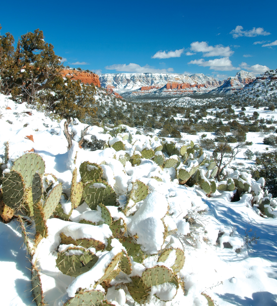
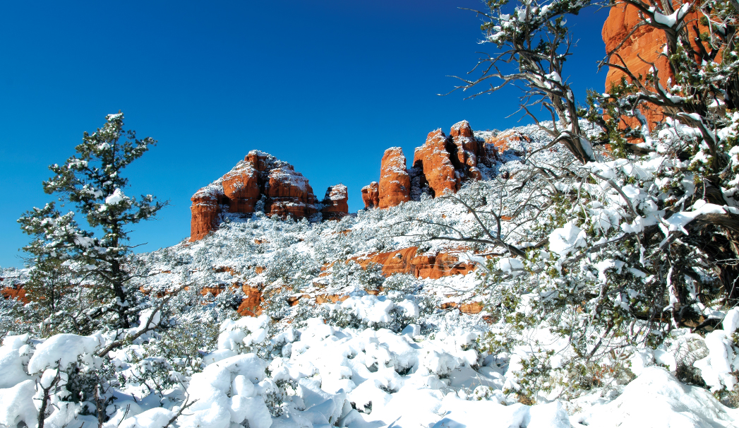
Snow-covered cacti and red rocks along the 4.6-mile-long out-and-back Bear Mountain Trail.
The views continue to improve the farther you climb. The trail winds its way into a small canyon before making one last steep push and then leveling out. The Bear Mountain Trail has several false summits and can be tough to follow. If you’re having trouble spotting the trail, look for the white diamond markers and the stacked cairns. Searching for the real summit? Look in front of you. There, you’ll see another mountain in the distance. Its summit is your final destination. Many hikers choose to end their hike here, 1.25 miles from the trailhead. If not, you’ll meander through a landscape of prickly pear cactus and juniper trees before making another heart-pounding climb. When you reach the top, your views extend all the way to the snow-capped San Francisco Peaks. It’s definitely worth the effort. Best of all? It’s all downhill from there.
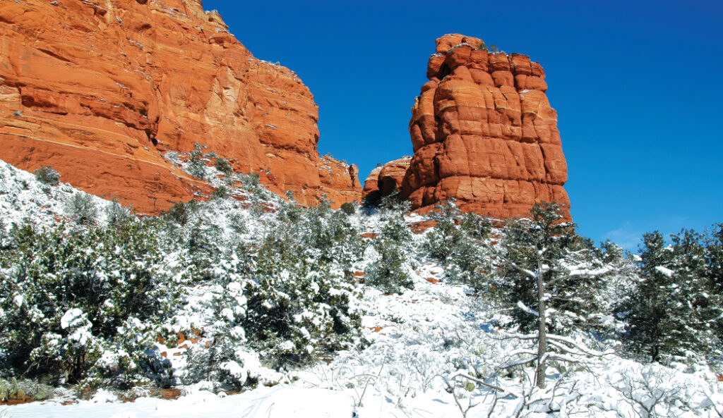
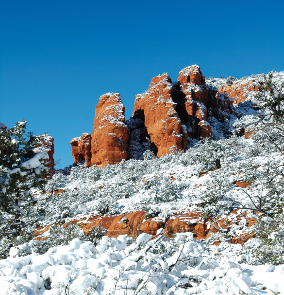
A snowy shot from Sedona’s Bear Mountain.
One final note: We can’t stress enough the importance of being careful on this trail and tackling it only in the right conditions. (The Red Rock Ranger District advises against hiking all the way up Bear Mountain if there is heavy snow on the ground.) Be sure to bundle up, too. The wind tends to be very strong at the top of the mountain.
Please check with the Red Rock Ranger District before planning your hike. For more information visit: https://www.fs.usda.gov/r03/coconino