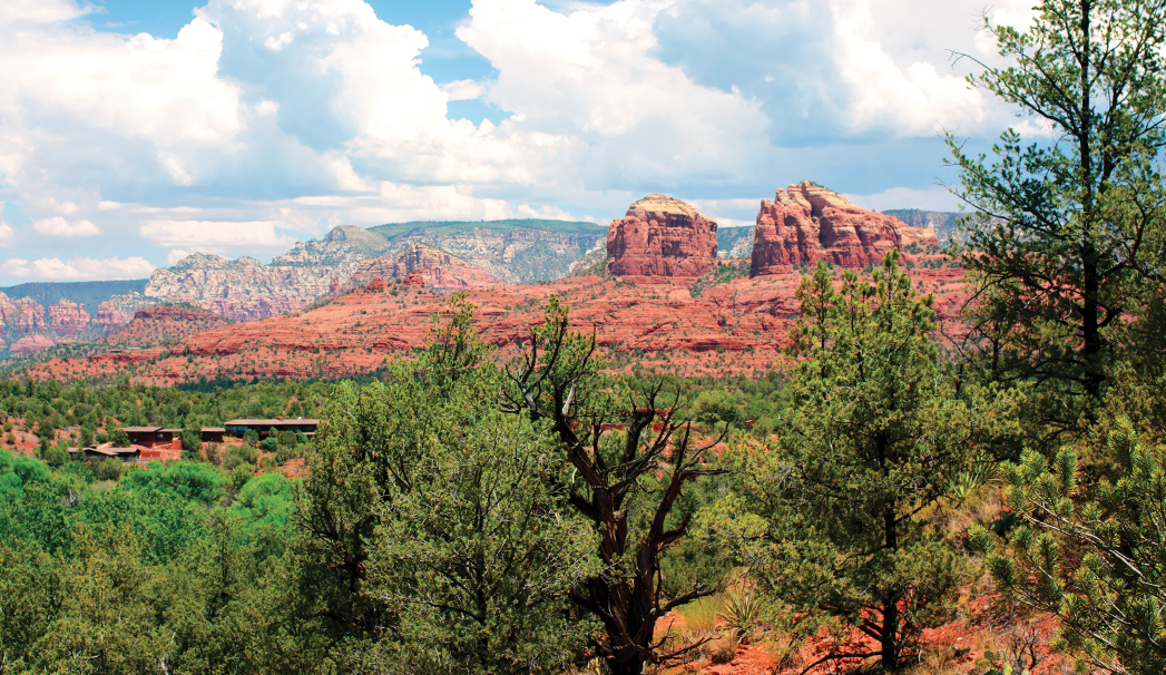
When we’re searching for an escape that’s not too far from town, we often head to Red Rock State Park. There’s plenty to love about this park. This 286-acre nature preserve located on the southwestern edge of town feels secluded, is relatively far from the buzz of traffic but also is easy to reach. This includes developed trails, guided nature walks and a plethora of monthly activities and other programming. Oak Creek runs through the park, and iconic Cathedral Rock rises in the distance. Most of the trails are fairly short and easy, but on a recent afternoon, we decided to try the Eagle’s Nest loop, which climbs 300 feet to the highest point in the park. When we’re just starting to get back into hiking after the summer break, this is a great trail to build up our strength.
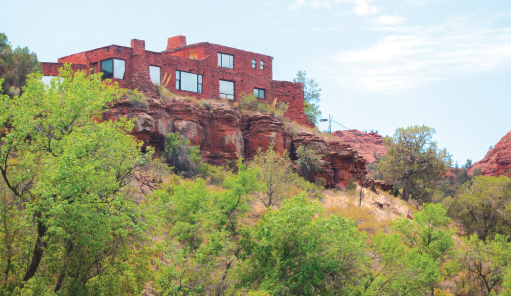
A closer look at the historic House of Apache Fire. To view this historic home, consider taking the House of Apache Fire House Trail. The home was owned by Helen and Jack Frye. Jack was the owner of TWA Airlines.
We began our hike on the paved Bunkhouse Trail, which begins at the park’s visitor center. From the visitor center, turn right on the trail. Not along after, the trail crosses Oak Creek via two wooden bridges. An interesting detour you can take is by following the Kivsa Trail until it intersects with the Apache Fire House Trail. Follow this short loop trail to see an unfinished adobe home that was built by Helen and Jack Frye. If you’re short on time, after you’ve been hiking for 0.28 mile, turn right on the Kisva Trail. Follow Kisva Trail until it ends (ignore the first sign for Eagle’s Nest just 0.08 mile after you’ve been hiking on Kisva Trail). You’ll hike past stands of cottonwood and sycamore trees and clumps of poison ivy. The trail follows Oak Creek, so you’re treated to the sounds of running water the entire way. After you’ve been hiking for 1 mile, Kisva ends at the Armijo Ditch, which was built by Juan Armijo to irrigate his homestead. Turn left, and you are officially hiking Eagle’s Nest Loop. The trail makes a steep climb through a series of switchbacks and reaches the Eagle’s Nest Overlook. Two benches allow you to catch your breath and enjoy expansive red rock views while interpretive plaques tell you about the area’s geology and rock formations.
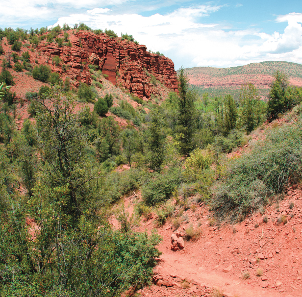
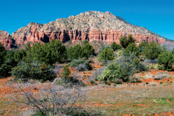
A scene from the Eagle’s Nest Trail.
From the overlook, the trail becomes more level, meandering through a forest of juniper trees and cactus. You’ll come upon Red Hawk Overlook 2.9 miles from the start of your hike. The last overlook you’ll encounter is Coyote Ridge. From here, the trail makes a steep descent until it ends at Kisva Trail. Turn right and follow Kisva to Sentinel Trail and then Bunkhouse Trail to return to the visitor center for a short 3-mile loop through one of Northern Arizona’s most vibrant state parks.
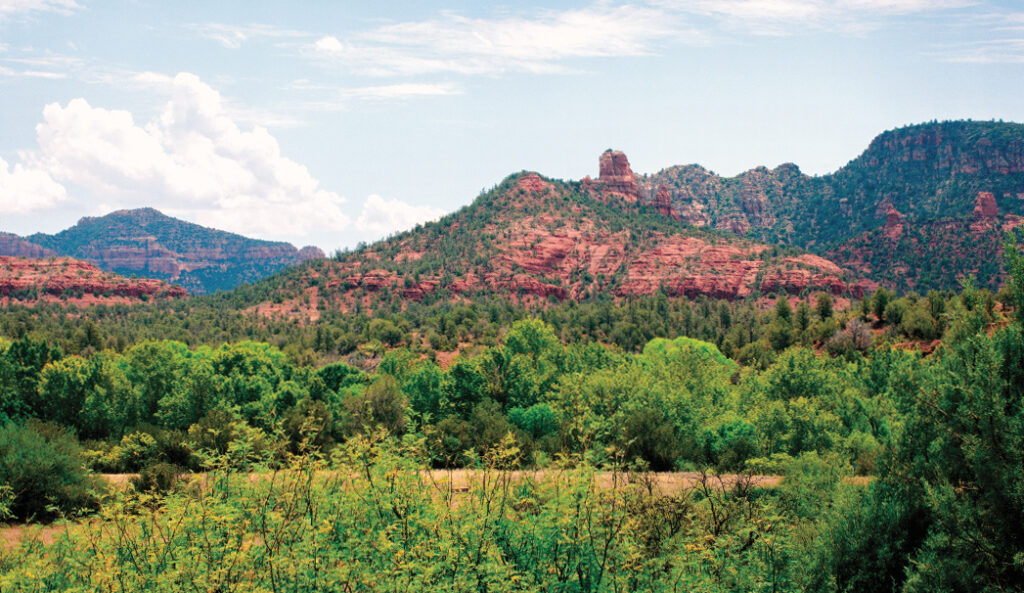
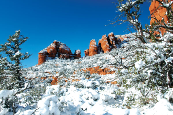
A view of the Napoleon’s Tomb red rock formation from the Eagle’s Nest Trail at Red Rock State Park.
Please check with the Red Rock State Park before planning your hike. For more information visit: https://azstateparks.com/red-rock