The San Francisco Volcanic Field covers more than 1,800 square miles of northern Arizona beginning in the west at Williams and spreading east to Grand Falls, Arizona. It’s also home to more than 600 volcanoes. Bill Williams Mountain was the first to erupt about six million years ago. The field has continually expanded to the east with the most recent eruption occurring 950 years ago when Sunset Crater erupted. San Francisco Mountain began forming roughly more than one million years ago. It is a compound stratovolcano and reached a high point of about 16,000 feet prior to a large lateral eruption to the northeast about 93,000 feet years ago. Now it is Humphreys Peak. At 12,637 feet, it’s the highest of the peaks and the highest point in Arizona.
The Peaks are a source of much recreational activity including skiing, snowboarding and hiking. There are multiple ways to access the Peaks from all sides of the mountain. The easiest access on the west is through the road heading up to the Snowbowl. On the east, my favorite is the road to Lockett Meadow which takes you up to the base of the Inner Basin.
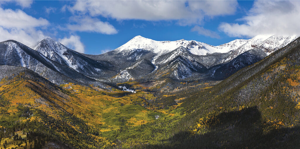
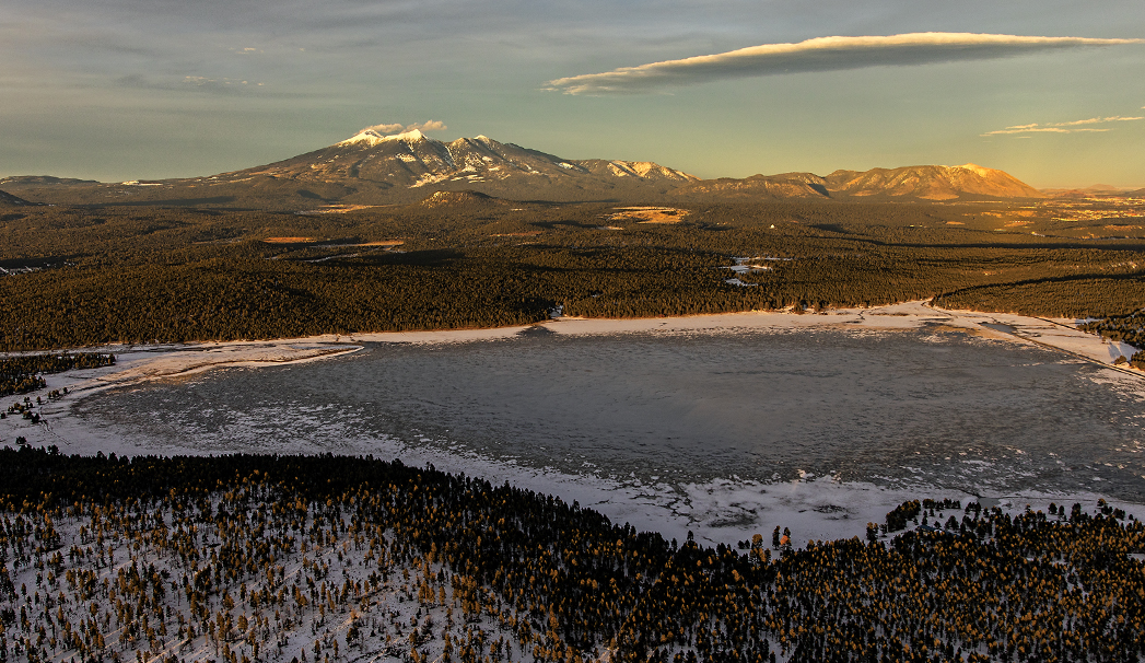
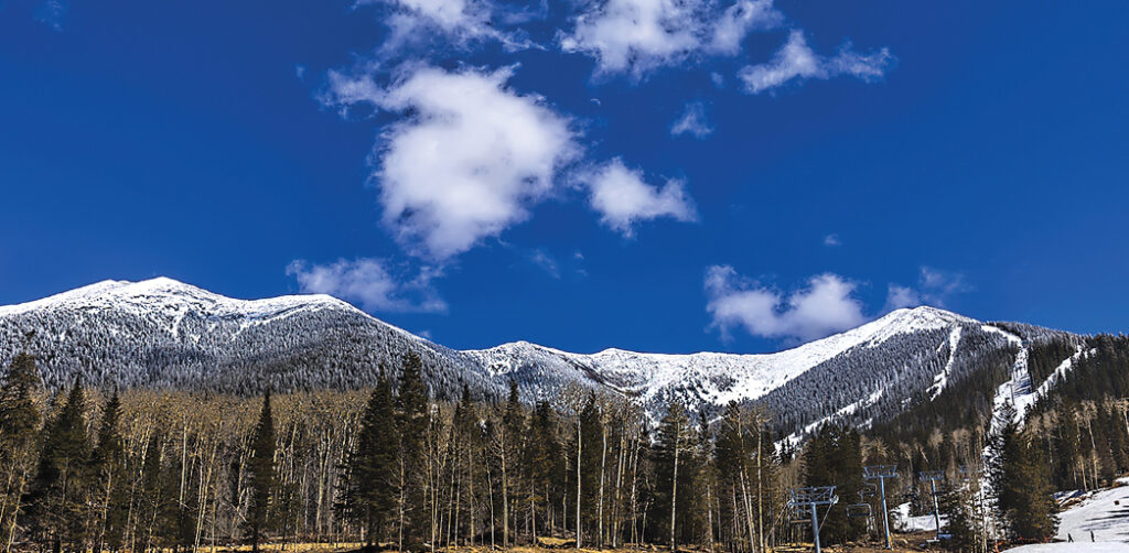
The views are stunning. On the west side, you have incredible views to the west including Kendrick Peak. On the east side, enjoy vistas of O’Leary Peak, Sunset Crater and the Painted Desert. The top photo was taken from the southwest and provides a view of the peaks with Rogers Lake in the foreground. Next, the photo was captured from the chalet at Snowbowl looking up to the peaks. Humphreys Peak is on the left and Agassiz on the right, with ski trails visible. Next an aerial photo from above
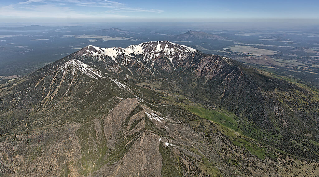
Lockett Meadow into the inner basin during peak color in the fall. Lastly, the photo from southeast of the San Francisco Peaks looks to the northwest and provides an overall view of the area – on the horizon left is Bill Williams Mountain, then to the right is Sitgreaves Mountain and then Kendrick Peak.
![]()

