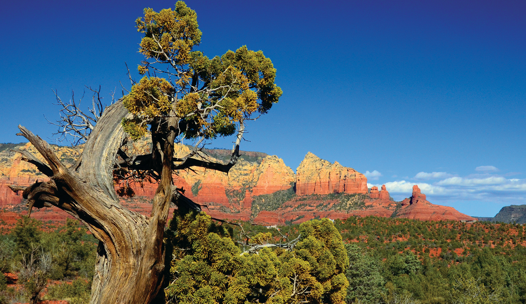
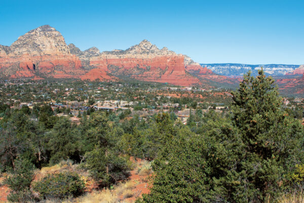
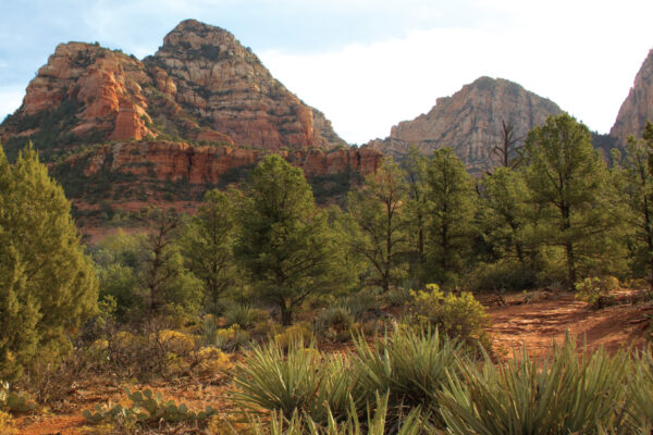
Adobe Jack Trail features fantastic red rock views. It also leads you to a creek bed and winds in and out of small washes and green desert terrain lined with junipers and Manzanita bushes. Before beginning the hike, you’ll see a sign that reads: “This private property trailhead was developed for the enjoyment of Sedona’s residents and visitors.” It also tells the story of HJ Meany, aka Adobe Jack, who was born in Prescott. Jack came from a working-class family that struggled through rough times during the Great Depression. He served in World War II, graduated from University of Southern California School of Engineering and climbed the corporate ladder. But he always retained his love for the Old West.
Adobe Jack Trailhead starts out as compacted dirt, a noticeable change from the much rockier trails in most of Sedona. Noise from cars on AZ-89A can be heard for about a quarter of a mile, but you forget about it once you take notice of the beautiful views of Coffee Pot and Steamboat Rock in the distance. Private homes can be seen along the trail, but like the noise, they disappear once you get deeper into the forest. This trail seems busier than most with mountain bikers breezing by, so if you are looking for solitude, Adobe Jack may not be the best choice. (Mountain bikers love this trail because of its winding turns and not-too-steep hills.) The trail does have a few narrow climbing sections that a beginner rider may have to walk. On the day that we hiked, the terrain was muddy and slippery. Be cautious, especially if rain is in the forecast. Small pools of water dotted the creek bed, much to our photographer’s delight. There isn’t a lot of shade along Adobe Jack, although a canopy of juniper trees covered a few sections of the trail. Take that into account if you are hiking during the hotter summer months. If you are a bird watcher, take note that we spotted some beautiful bluebirds on our hike.
Adobe Jack intersects with Crusty, Coyote, Powerline Plunge, Manzanita and Grand Central trails, which piqued our curiosity, but we stayed on course. The up-and-down terrain ends at the Jordan Trail junction, where only a few feet to the left of the trail marker is the Devil’s Kitchen Sinkhole. If you don’t know much about the sinkhole, check out the sign that explains the geologic conditions and the history of what caused the collapse of underground caverns in the Redwall Limestone. Just don’t get too close to the edge.


