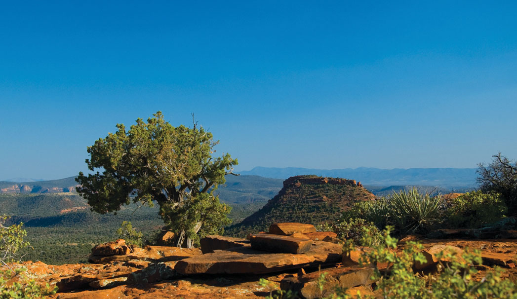
Every year, the trail leading to the top of Doe Mountain seems to grow in popularity as more and more hikers seek out the mesa’s 360-degree views. After spending several days flying above Sedona, we were inspired to revisit the trail one hot, windy afternoon. The trail climbs 0.7 mile in a series of moderately steep, rocky switchbacks that afford views of Bear Mountain and the surrounding ranches. The last few feet of the climb requires you to shimmy up a slick-rock chute, and then you are free to roam the flat expanse of the mesa top.
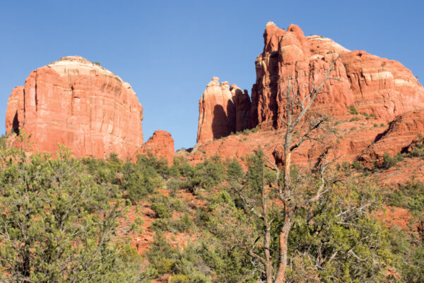
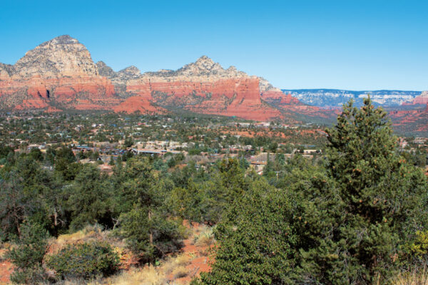
A relatively easy-to-follow trail leads first to the northeast side of the mesa, winding around low-lying prickly pear cactuses, tall stalks of blooming century plants and bushy juniper trees. Exploring the rim of Doe Mountain is definitely the most enjoyable part of the hike. Watch your footing and step to the edge for unobstructed, vertigo-inducing views of the forest far below. In front of you, Sedona’s most iconic formations stand tall – you’ll see Capitol Butte, Cathedral Rock, Airport Mesa, the Mogollon Rim and Courthouse Butte. Lizards scurried around us and a deft chipmunk skittered around red-rock boulders. We also spotted rabbits and birds nesting in the trees.
As we made our way around the mesa, southern views included Sedona Red Rock High School and Schuerman Mountain. To the southwest, Cottonwood, Clarkdale, Jerome and Mingus Mountain came into view. We also came upon a cluster of anchor bolts installed by rock climbers, though there were no climbers in the area during our hike. The top of the mesa is large, and you can easily spend hours exploring its cracks, crevices, spires and views. There are some great ledges for picnicking on the south side of the mountain, but keep in mind that it’s almost always windy in the area, as evidenced by the gnarled tree trunks of the junipers that grow close to the mesa’s edge.
Want more Sedona hikes? Download our eBook, Sedona Monthly Hikes the Red Rocks at Amazon.


